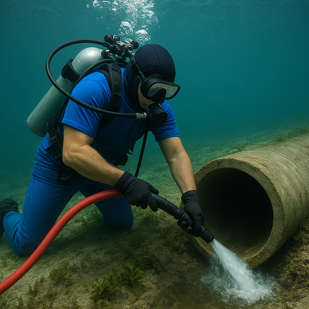
Water Velocity
Water velocity, as it pertains to erosion, is the measure of moving waters effect on the hard surfaces it comes into contact with. Water velocity on a river or stream is much higher than water velocity on a standing body of water such as a lake or pond. It can also be taken into account when measuring sheet flow erosion and its effect on horizontal surfaces such as banks and shorelines. Here, the water velocity is very low, but the actual water affects a larger area of land. As water passes by a hard surface, it creates friction and turbulence which agitates the surface and can break free fine particles in some cases, taking the particles with it. The higher the water velocity, the more particles it can detach and carry away. Conversely, little to no water velocity will have very little effect on the hard surface. Water flowing quickly along a sandy shoreline will cause immediate erosion whereas water sitting in a retention pond with little movement may saturate the hard surface, but will cause much less erosion.
For rivers and streams, it is important to help reduce erosion by hardening the shoreline so that the flow of water has less effect on causing erosion. This can sometimes be rock, boulders, Turf Reinforcement Mat, seawalls, sheet pile, bulkhead, or other methods. These structures help buffer the effects of flow, tide, and wake from boat traffic. Navigable waterways are ones that allow for boat or vessel traffic. Non-navigable waterways are ones that do not experience boat traffic. So, factors such as these must be taken into account when planning for erosion control systems along a shoreline or bank.
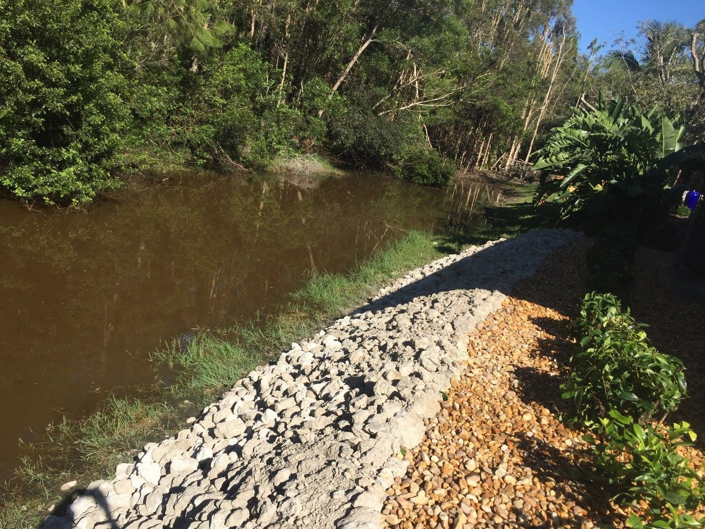
Above Picture: Shorelines along canals that have moving water should be hardened with rip rap rock or similar aggregate.
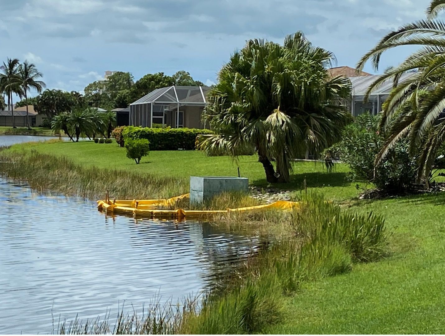
For lakes, ponds, and preserve areas, erosion control methods have more to do with the slope and the water’s interaction with the environment around it (called Hydroecology). On these bodies, other factors such as wave action, fluctuating water levels, and rill erosion are more prominent than actual water velocity.
Civil engineers and environmental engineers can usually provide a study or assessment on how water is affecting your shoreline or lake bank. Some tools can be used to provide these measurements. Otherwise, it is typically easy to see visually how a surface is being affected and then engage a professional to determine a solution.
Recent Posts